


Lucerne, Switzerland
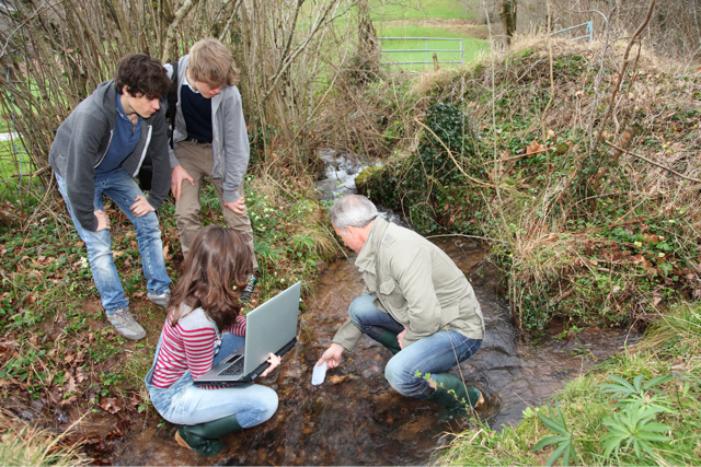
Bayesian Methods for Environmental Modelling
When:
31 May - 05 June 2026
Credits:
2 EC
Read more
Geo Sciences
When:
28 August - 01 September 2023
School:
Institution:
TU Delft
City:
Country:
Language:
English
Credits:
2 EC
The main topic of the school will be to present the theoretical and practical aspects in surface deformation monitoring by application of the three main observing methods used within the GATHERS project (http://www.gathers.eu/):
* Interferometric Synthetic Aperture Radar (InSAR)
* Light Detection and Ranging (LiDAR)
* Global navigation satellite system (GNSS)
Freek van Leijen and Ramon Hanssen (TU Delft) Mattia Crespi and Augusto Mazzoni (University of Rome La Sapienza) Norbert Pfeifer (TU Wien) Jan Kaplon, Grzegorz Jóźków, Kamila Pawłuszek-Filipiak, Maya Ilieva, Iwona Kudłacik (UPWr, Poland)
MSc students, PhD students, researchers and professional LiDAR, GNSS and InSAR users.
The school aims to provide sustainable basic knowladge on the three geotetic topics of the course, namely INSAR, LiDAR and GNSS seimology, to propose an overview of their integration for monitoring of anthropogenic hazards, and to strengthen the networking among the young generation of European scientists interested in geodesy, geodynamics and remote sensing.
When:
28 August - 01 September 2023
School:
Institution:
TU Delft
Language:
English
Credits:
2 EC
Lucerne, Switzerland
When:
31 May - 05 June 2026
Credits:
2 EC
Read more
Liverpool, United Kingdom
When:
15 June - 24 July 2026
Credits:
5 EC
Read more
Munich, Germany
When:
03 August - 12 August 2026
Credits:
3 EC
Read more