
Top course
Pisa, Italy
Fiber-Optic Sensing for Geological, Geophysical and Environmental Applications
When:
29 June - 03 July 2026
Credits:
3 EC
Read more
Geo Sciences
When:
14 August - 23 August 2022
School:
Institution:
University of Twente
City:
Country:
Language:
English
Credits:
2 EC
Fee:
775 EUR

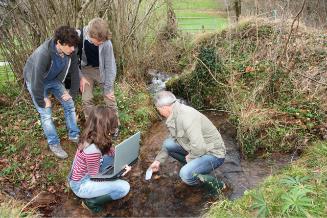
This is a well tested and upgraded course for hands-on GIS (Geographic Information Systems) and Remote Sensing (Earth Satellite and drones). It includes theory, supervised practicals and fieldwork based on real cases called “challenges”. It is guided by recognised teachers, some with more than 20 years of international experience in more than 20 countries.
Add to this learning the international young environment of the University of Twente summer camp of Curious-U with more than 300 potential friends to make, festivals and games, and you get a ticket to an unforgettable Summer experience.
We enjoy it when you enjoy it, and at the same time, we are strongly committed to teaching and mentoring in this course as we do in our University. You will not come back empty handed. Now, let’s talk about this course.
Gabriel Parodi - Lecturer
No pre-knowledge in the science of GIS and Remote Sensing is required, but participants preferably might have an engineering or related background.
Fee
775 EUR, The CuriousU all-in-package consists of these components: Course participation Course materials Social programme, including games, sports and workshops Inspirational speakers Meals: breakfast, lunch, dinner, coffee & tea Accommodation in a tent at the campus of UT
When:
14 August - 23 August 2022
School:
Institution:
University of Twente
Language:
English
Credits:
2 EC
Pisa, Italy
When:
29 June - 03 July 2026
Credits:
3 EC
Read more
Geneva, Italy
When:
26 August - 30 August 2026
Credits:
3 EC
Read more

Zlin, Czechia
When:
03 August - 14 August 2026
Credits:
6 EC
Read more