


Padua, Italy
Introduction to Earth and Climate Dynamics
When:
28 July - 03 August 2025
Credits:
3 EC
Read more
Geo Sciences
When:
15 August - 19 August 2022
School:
Institution:
Radboud University
City:
Country:
Language:
English
Credits:
2 EC
Fee:
600 EUR

Spatial data are common in many fields like environmental monitoring and public health, however communicating spatial data is difficult. In this course your will learn how statistics is used to model, interpret and visualise spatial data.
Dr. Eilidh Jack School of Mathematics and Statistics University of Glasgow, UK Dr. Marnie Low School of Mathematics and Statistics University of Glasgow, UK
• Master
• PhD
This course will be useful for those who work with spatial data across a variety of fields. This course will suit anyone who is looking to learn about modelling and visualising their spatial data as well as those who would like to refresh what they have learned before. No prior knowledge of spatial statistics is required.
After this course you are able to:
• Load spatial datasets into R and produce exploratory visualisations and summaries.
• Identify spatial trends and autocorrelation.
• Distinguish between areal unit and geostatistical data and apply corresponding methodology appropriately.
• Interpret R output and produce high quality visualisations of results.
Fee
600 EUR, The fee includes the registration fees, course materials, access to library and IT facilities, coffee/tea, lunch, and a number of social activities.
When:
15 August - 19 August 2022
School:
Institution:
Radboud University
Language:
English
Credits:
2 EC
Padua, Italy
When:
28 July - 03 August 2025
Credits:
3 EC
Read more
Southampton, United Kingdom
When:
19 July - 27 July 2025
Credits:
0 EC
Read more
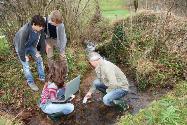
Wageningen, Netherlands
When:
07 July - 18 July 2025
Credits:
0 EC
Read more